Items list
640 METERS ALTIMETER
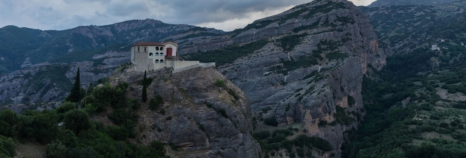
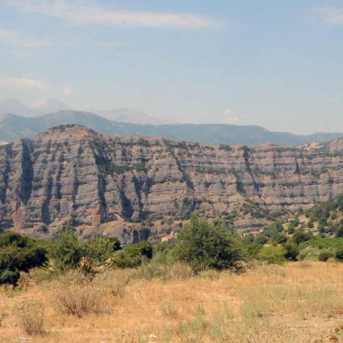
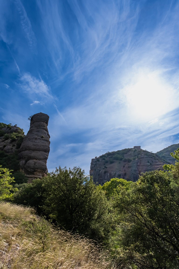
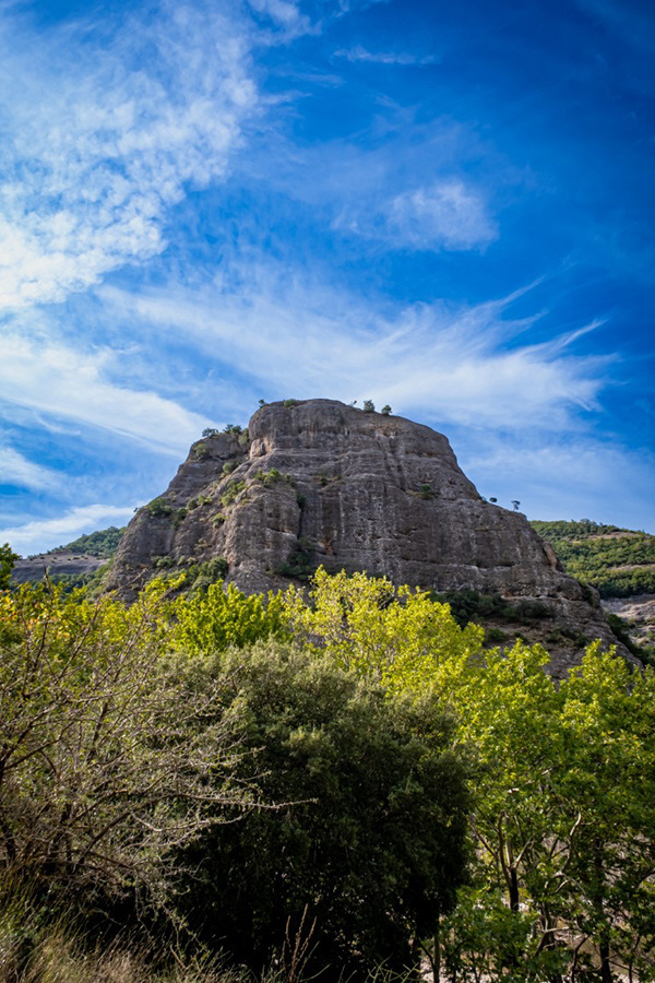
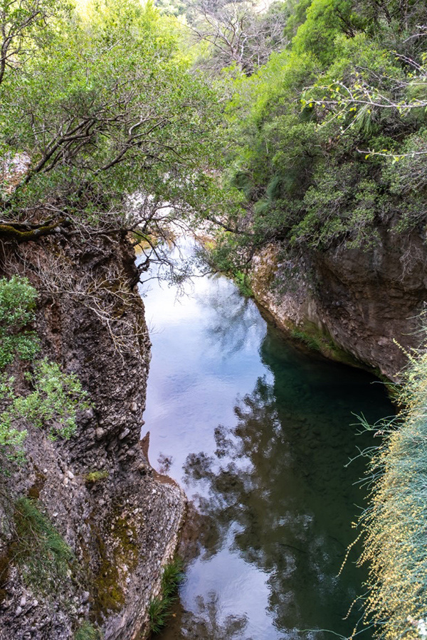
Meteora of the Peloponnese
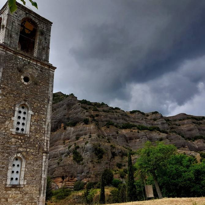
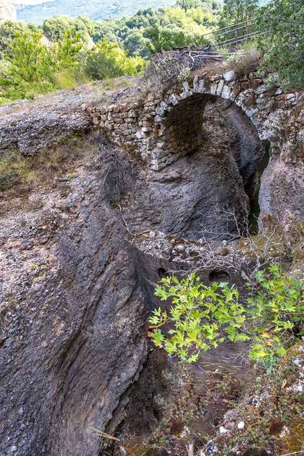
The Holy Monastery of Makellaria is located opposite the village of Lapanagoi, built atop a striking, sheer cliff. Small wonder, then, that it’s been called the “Meteora of the Peloponnese”.
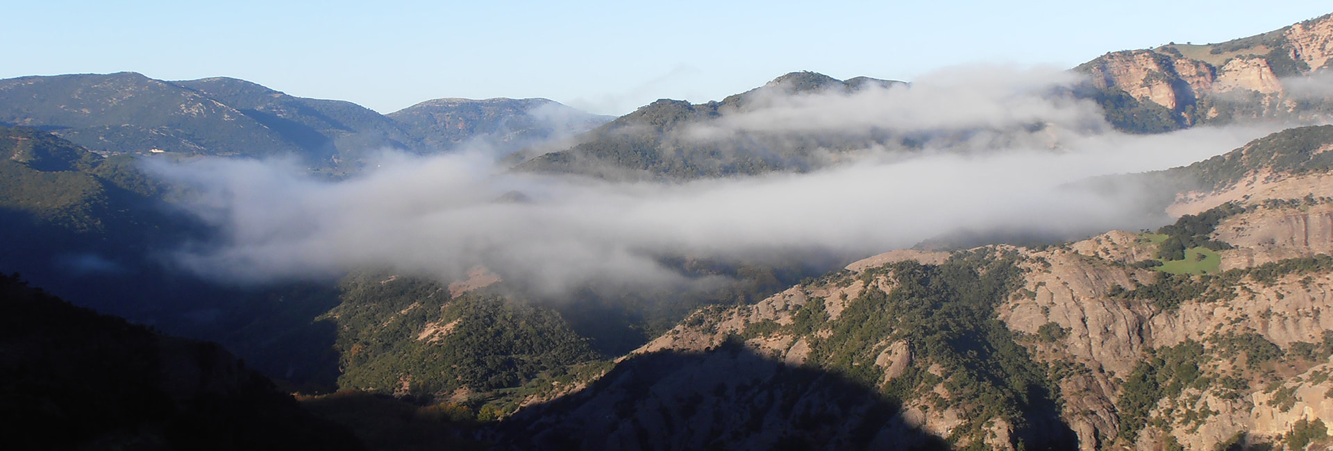
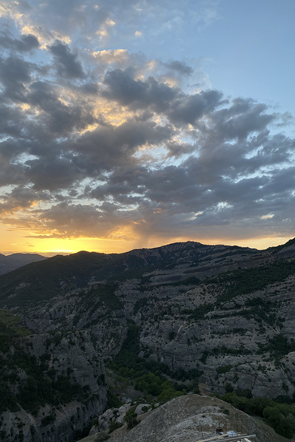
The Monastery, at an altitude of 640 meters, is one of the most impressive religious monuments in the area, with deep historical and spiritual significance. Built in the 10th century, according to tradition, by monks seeking peace and asceticism, the Monastery is dedicated to the Nativity of the Virgin Mary. The architecture of the Monastery bears witness to the medieval style, while its location, overlooking the Selinounta Gorge, offers a magical setting that inspires awe and peace.
The Monastery was a center of spiritual and national action, especially during the Revolution of 1821. Today it attracts a multitude of pilgrims and visitors, who come to admire the beauty of the landscape and feel the devout atmosphere.
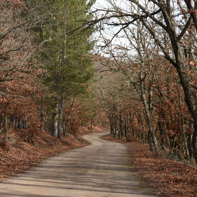
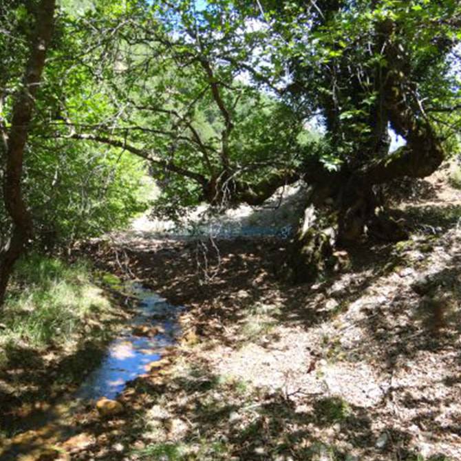
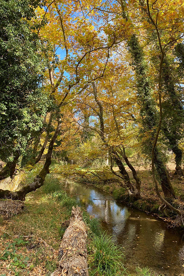
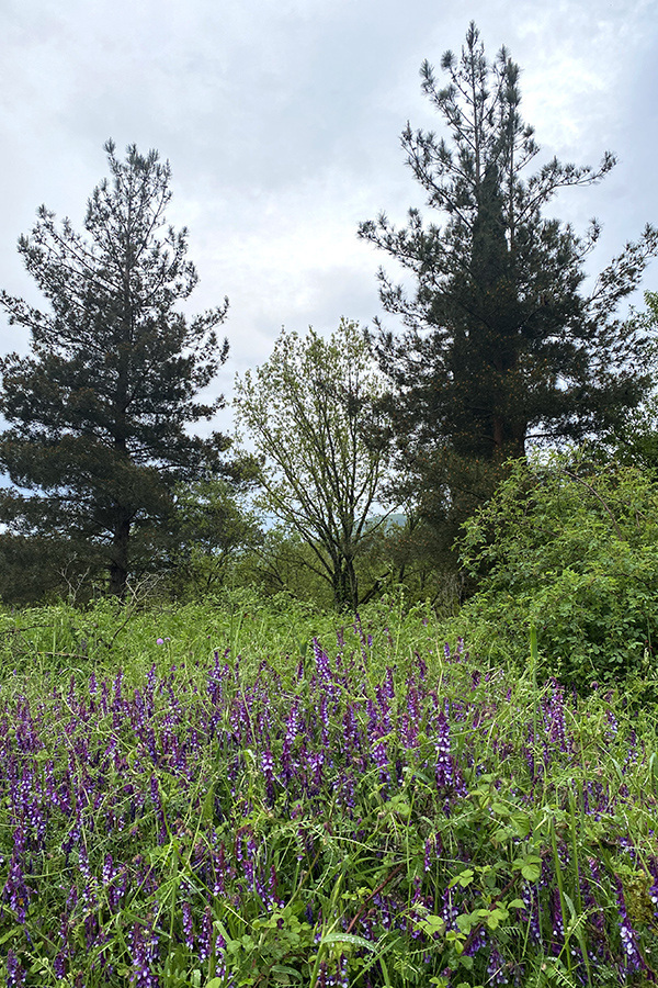
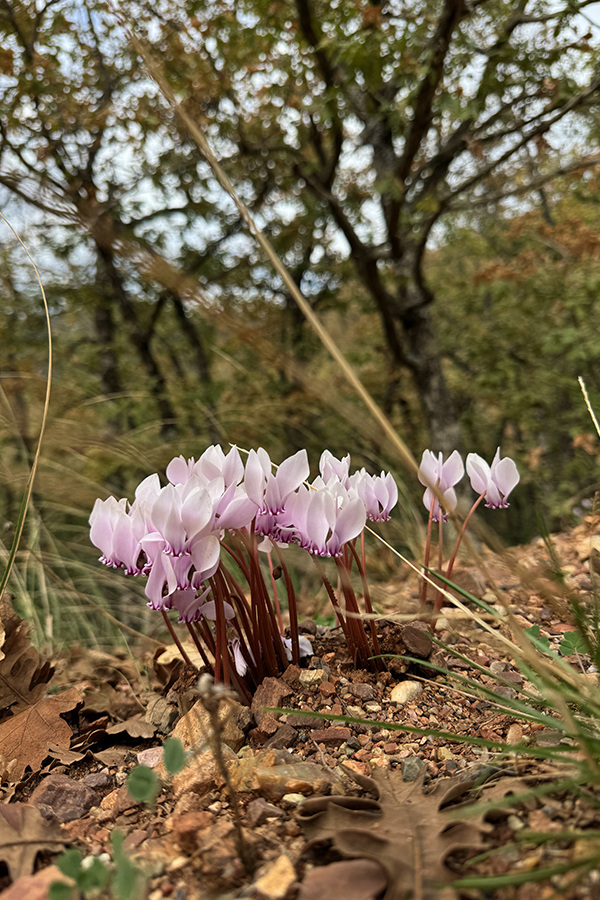
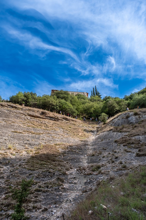
Access to the Monastery is possible through the oak forest of Kaniska, which offers a unique natural environment. The forest, rich in biodiversity, complements the visitor's experience with its natural beauty and the possibilities for activities such as hiking and mountain biking.
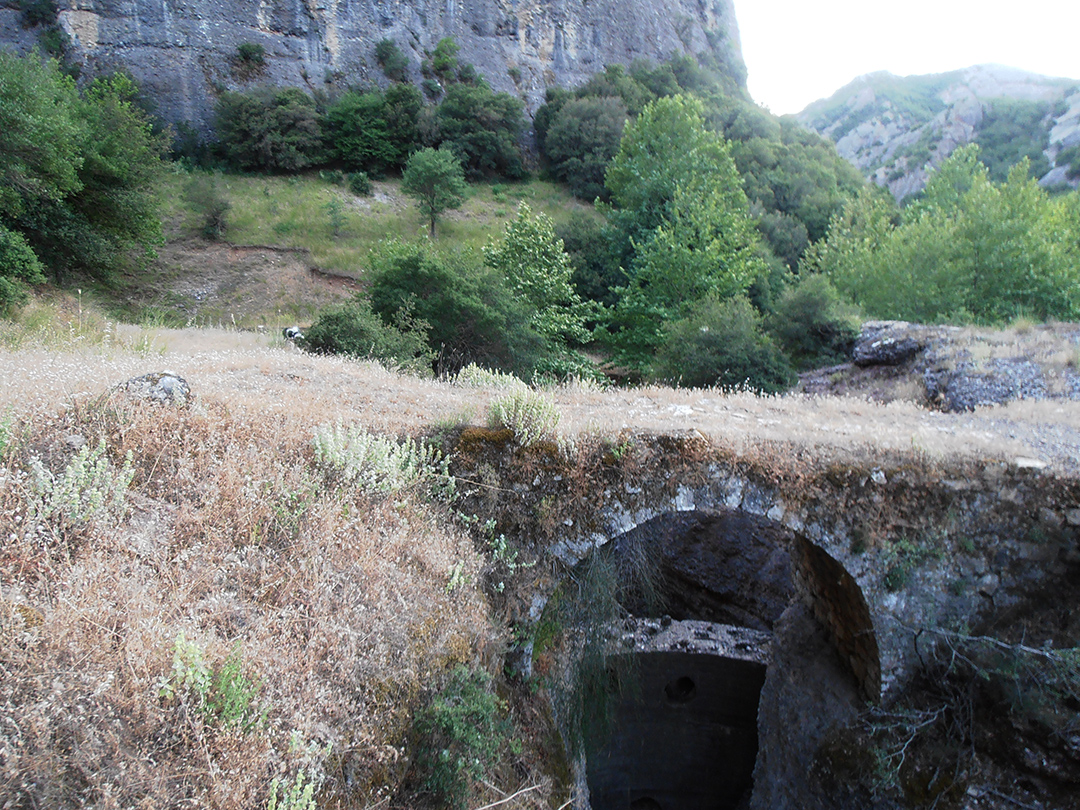
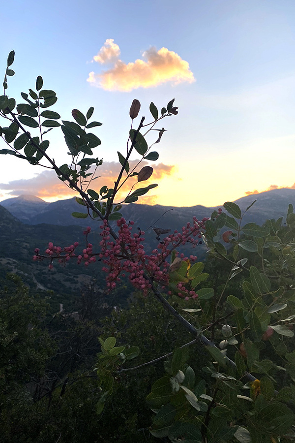
The difficulty that the pilgrim encounters in reaching the Monastery (10 km dirt road) is compensated by the unparalleled natural beauty of the landscape.